Terrara Parameters Explained

Comprehensive guide to understanding property intelligence parameters

Terrara provides detailed analysis across 142+ parameters organized into 10 key categories. Each parameter delivers specific insights that help property professionals make informed decisions. This guide explains what each parameter means and how it can be utilized in property analysis.

Basic Parcel Data Visualization

BASIC DATA PARCEL

Parcel ID
Unique Swiss identification number for the land parcel in the federal cadastral registry. This ID remains consistent even if municipal parcel numbers change and serves as the official reference in legal documents.
Parcel No
The municipal parcel number as registered in the local land registry. This number is typically used in municipal documentation and local planning processes.
Size
Total surface area of the parcel measured in square meters. This measurement forms the basis for calculating building density, coverage ratios, and other development parameters.
Property Type
Legal classification of the property within the Swiss cadastral system. Categories include standard property, condominium property, distinct and permanent rights, or mineral rights.
Coordinates Center
Geographic coordinates pinpointing the center of the parcel using the Swiss coordinate system (CH1903+). Used for precise location referencing in planning applications and GIS systems.
Basic Building Data Visualization

BASIC DATA BUILDING

Object ID
Unique identifier for the building within the Swiss Federal Register of Buildings and Dwellings (RegBL). This ID enables cross-referencing with other federal and cantonal databases.
Footprint Area
The surface area in square meters that the building occupies on the ground. This measurement is critical for calculating land coverage ratios and compliance with municipal building codes.
Building Volume
Total enclosed volume of the building in cubic meters, calculated according to SIA (Swiss Society of Engineers and Architects) standards. Used for building fee calculations and density assessments.
Object Type
Classification of the structure according to the Federal Building Registry. Categories include residential, commercial, industrial, or mixed-use, determining applicable building codes and regulations.
Number of Floors
Total count of full floors in the building above ground level. This parameter affects height regulations, density calculations, and evacuation requirements in building codes.
Listed
Indicates whether the property is subject to a "Baurecht" (building right/leasehold) arrangement. Baurecht is a Swiss legal concept where one party owns the land while another has the right to build and maintain structures on it for a specified period, typically 30-100 years. Properties with Not Listed designation confirm full ownership of both land and buildings.
Basic Zoning Plan Visualization

BASIC ZONING PLAN

NATIONAL
Primary zoning classification according to the Swiss Federal Spatial Development Office's standardized categories. This designation defines the fundamental permitted use of the land.
CANTONAL
Secondary zoning classification that further refines the primary designation with more specific usage parameters. This influences permitted building types and density regulations.
MUNICIPAL
Tertiary zoning classification providing the most detailed level of zoning specificity. This parameter includes precise information on floor limitations, density allowances, and specific building typologies permitted.
Special Zoning Plan Visualization

SPECIAL ZONING PLAN

ZPP (Zone with Plan Obligation)
Indicates whether the property falls within a zone requiring a detailed site plan before development. These zones typically have special development requirements that necessitate additional planning documentation.
UeO (Design Plan Overlay)
Indicates the presence of a design plan overlay zone with specific architectural and urban design requirements. These overlays typically enforce stricter aesthetic guidelines than standard zoning regulations.
USP (Special Use Plan)
Identifies properties subject to a special use plan that may override standard zoning regulations. These plans typically apply to areas with unique development needs or opportunities and may allow exceptions to standard regulations.
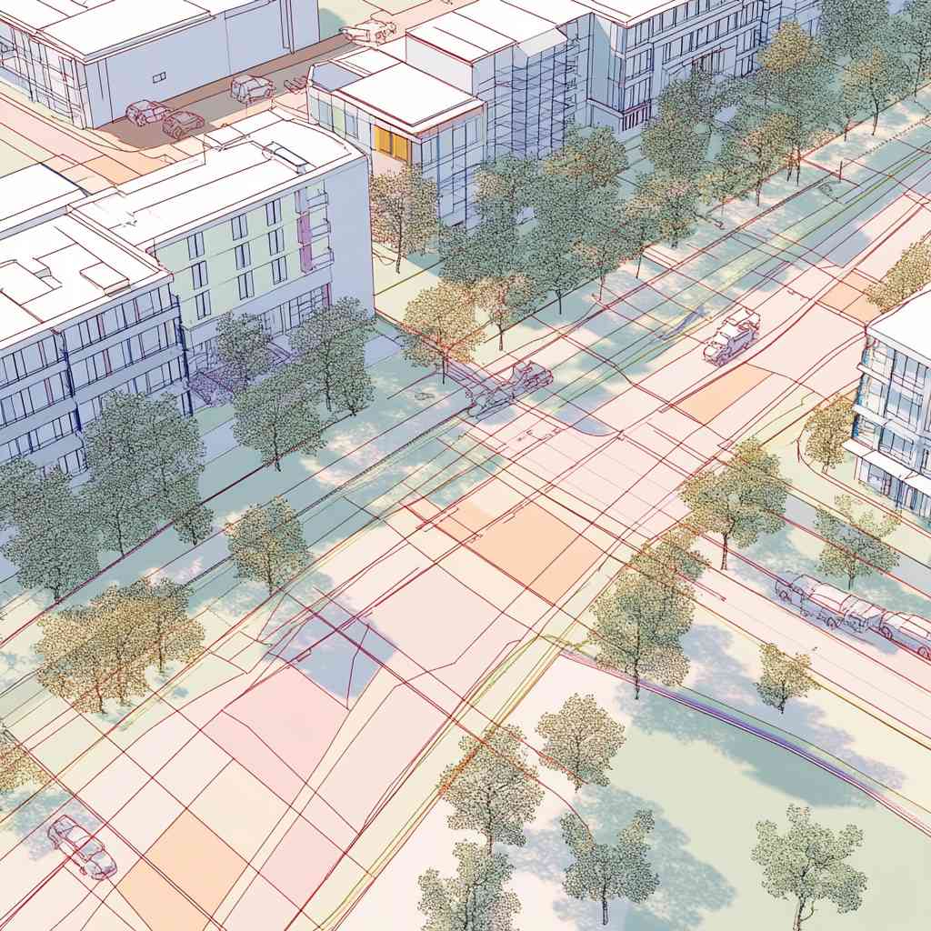
Overlay Zoning Plan Visualization

OVERLAY ZONING PLAN

Base Building Lines
Municipal building setback lines that determine the minimum distance buildings must maintain from property boundaries, streets, and other structures. These lines often restrict the buildable area of a parcel.
Building Lines Cantonal Roads
Setback requirements specifically for cantonal roads, which typically require greater distances than municipal streets due to higher traffic volumes, noise considerations, and future expansion plans.
Noise Sensitivity Level
Swiss noise protection designation that determines maximum permissible noise exposure levels for the property. These levels (ES_I through ES_IV) impact construction requirements for sound insulation and permitted uses.
Building Lines National Roads
Mandatory setback distances from national highways and motorways, established by federal regulations. These extended building restrictions protect from traffic noise and allow for future infrastructure expansion.
Building Lines Forest Distance
Legally required minimum distance between buildings and forest edges. This regulation, typically 10-30m depending on cantonal law, protects both forest ecosystems and structures from falling trees or forest fires.
Water Space Line
Demarcation line establishing the protected zone around water bodies where development is restricted or prohibited. This designation helps protect water quality, natural shorelines, and prevents flood damage to structures.
Water Space
Indicates whether the property contains or borders protected water areas like lakes, rivers, or streams . Properties with water spaces face additional environmental protection regulations and usage restrictions.
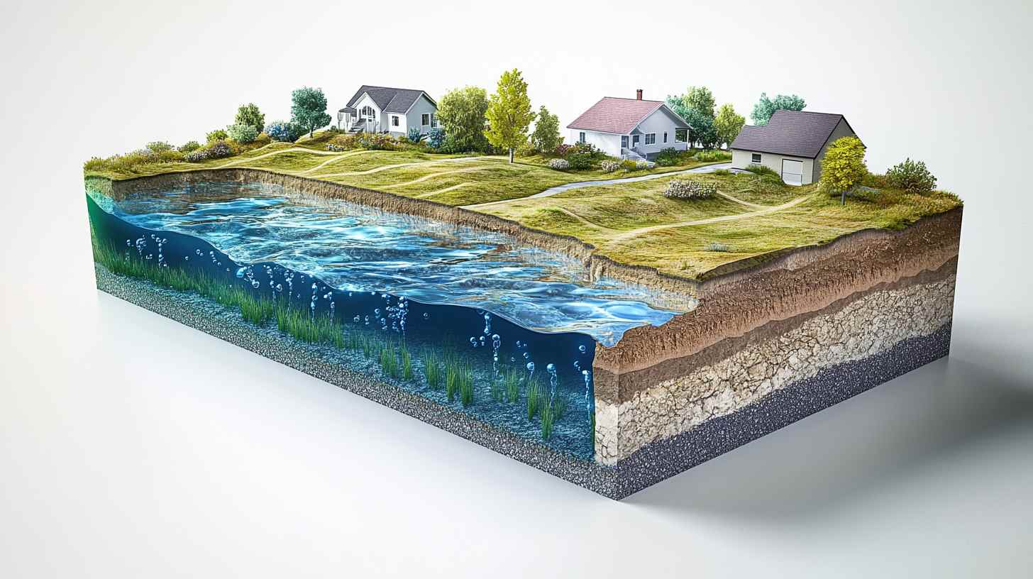
Soil Use and Risks Visualization

SOIL (USE AND RISKS)

Building Ground (Assumption)
Geological composition of the soil based on Swiss geological surveys. This information is critical for determining foundation requirements, construction techniques, and potential development costs.
Use of Geothermal Probes
Assessment of whether geothermal heating systems are permitted and feasible based on groundwater protection zones, geological conditions, and cantonal regulations. This impacts sustainable energy options.
Use of Groundwater
Information on groundwater accessibility, quality, and usage restrictions according to cantonal water protection ordinances. This determines potential for groundwater heat pumps and water supply options.
Radon Content
Measured or estimated radon gas levels in the area based on the federal radon database. Values above 100 Bq/m³ may require special construction measures to prevent gas infiltration into buildings.
Site Contamination (KBS)
Indicates whether the property is listed in the Swiss Cadastre of Contaminated Sites. This registry identifies land with known or suspected environmental contamination from historical uses such as industrial activities, waste disposal, or accidents involving hazardous materials.
Infiltration Zones
Designated areas where precipitation and surface water must be allowed to naturally percolate into the soil. Properties in infiltration zones face restrictions on impermeable surfaces and may require specific drainage solutions to maintain groundwater recharge and prevent flooding risks.
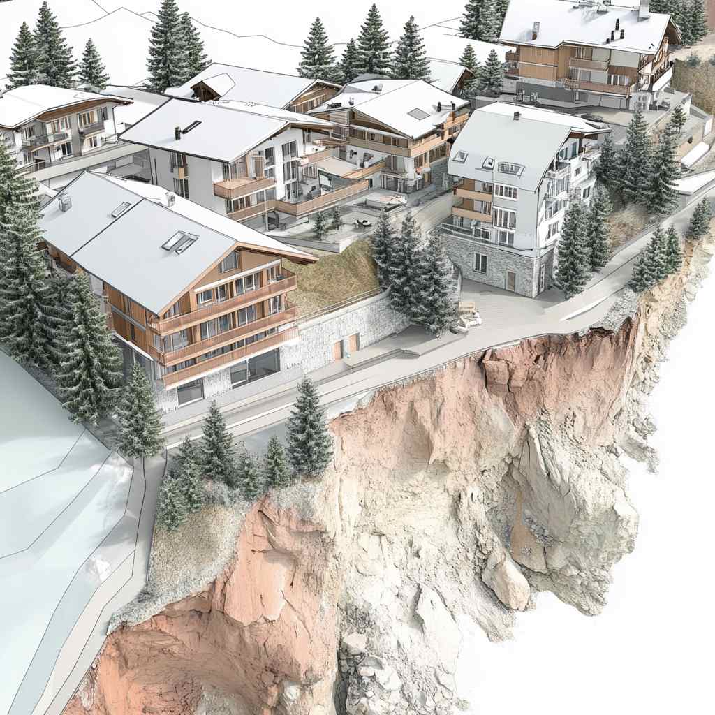
Natural Hazards Visualization

NATURAL HAZARDS

Fall Hazard
Assessment of rockfall, stone fall, and debris flow risks based on the Swiss hazard mapping system. Properties with fall hazards may require protective measures or face development restrictions.
Avalanche Hazard
Evaluation of avalanche risk zones based on Swiss avalanche hazard maps. Properties in avalanche-prone areas may have specific construction requirements or seasonal occupancy restrictions.
Slip Hazard
Assessment of landslide and soil movement risks based on geological stability analyses. Properties with slip hazards may require geotechnical investigations and specialized foundation designs.
Water Hazard
Evaluation of flooding, surface water runoff, and groundwater flooding risks. This information determines flood protection requirements and may affect insurance premiums and building codes compliance.
Sinkhole Hazard
Indicates whether the property is located in an area with risk of sinkholes. These geological formations occur in limestone regions common in parts of Switzerland where underground cavities can collapse, potentially causing structural damage. Properties in designated sinkhole hazard zones may require specialized foundation designs and additional geotechnical assessments.
Heritage Protection Visualization

HERITAGE PROTECTION

Protected Building (Nat.)
Indicates whether the building is listed in the Swiss Inventory of Cultural Property of National Significance (A-objects). Nationally protected buildings have the strictest preservation requirements and modification restrictions.
Protected Building (Cant.)
Specifies cantonal-level heritage protection status, which typically includes buildings of regional historical or architectural significance. These buildings have specific preservation requirements determined by cantonal authorities.
Archaeological Protection Area
Indicates whether the property falls within a designated archaeological protection zone. Development in these areas may require archaeological investigations before construction can begin.
Protected Objects
Indicates whether the property contains or is itself a structure listed in the Swiss inventory of protected cultural property. Buildings with protected status are subject to preservation requirements that restrict modifications to facades, interiors, or surrounding grounds, requiring special permits for renovations.
Protected Botanical Objects
Designates the presence of legally protected plant species, trees, or habitats on the property that are subject to conservation measures. Properties with protected botanical features may face restrictions on development that could harm these ecological assets and may require special management practices.
Archaeological Site
Identifies whether the property is located within a known or suspected archaeological zone of significance. Properties on archaeological sites require professional archaeological assessment before construction activities, and discoveries during excavation may trigger mandatory preservation measures or rescue excavations.
Nature and Environment Visualization

NATURE AND ENVIRONMENT

Proximity to Water (500 m)
Identifies water bodies within 500 meters of the property. This information affects water protection zones, potential flood risks, and specialized construction requirements for water protection.
Forest Areas and Borders
Indicates proximity to officially designated forest areas and boundary lines. Swiss law typically requires a building setback of at least 10-30 meters from forest boundaries, depending on cantonal regulations.
Nature Reserves
Identifies proximity to protected natural areas including biotopes, wildlife corridors, and other environmentally sensitive zones. Properties near these areas may have additional development restrictions.
Water Protection
Shows the property's water protection zone classification according to Swiss water protection ordinances. These zones (S1, S2, S3, etc.) determine permissible land uses and construction activities to safeguard water resources.
Groundwater Occurrence
Indicates the presence and characteristics of groundwater resources beneath the property. Properties in groundwater occurrence zones may face restrictions on excavation depths, underground construction, geothermal installations, and infiltration systems to protect drinking water supplies and prevent contamination.
Public Infrastructure / High Voltage
Identifies whether the property is affected by high-voltage electrical transmission lines or their protective corridors. Properties within these zones face building height restrictions, electromagnetic exposure considerations, and may require special permits for construction activities near electrical infrastructure.
Public Infrastructure / Railway Network
Designates properties located within railway protection zones or affected by railway infrastructure. These properties are subject to specific building restrictions, noise protection requirements, and may require approval from railway authorities for construction activities that could impact rail operations or safety.
Public Infrastructure / Airport
Indicates whether the property falls within airport influence areas including flight paths, noise zones, or safety perimeters. Properties in these zones face height limitations, noise insulation requirements, and may require aviation authority approvals for construction activities that could affect flight operations.
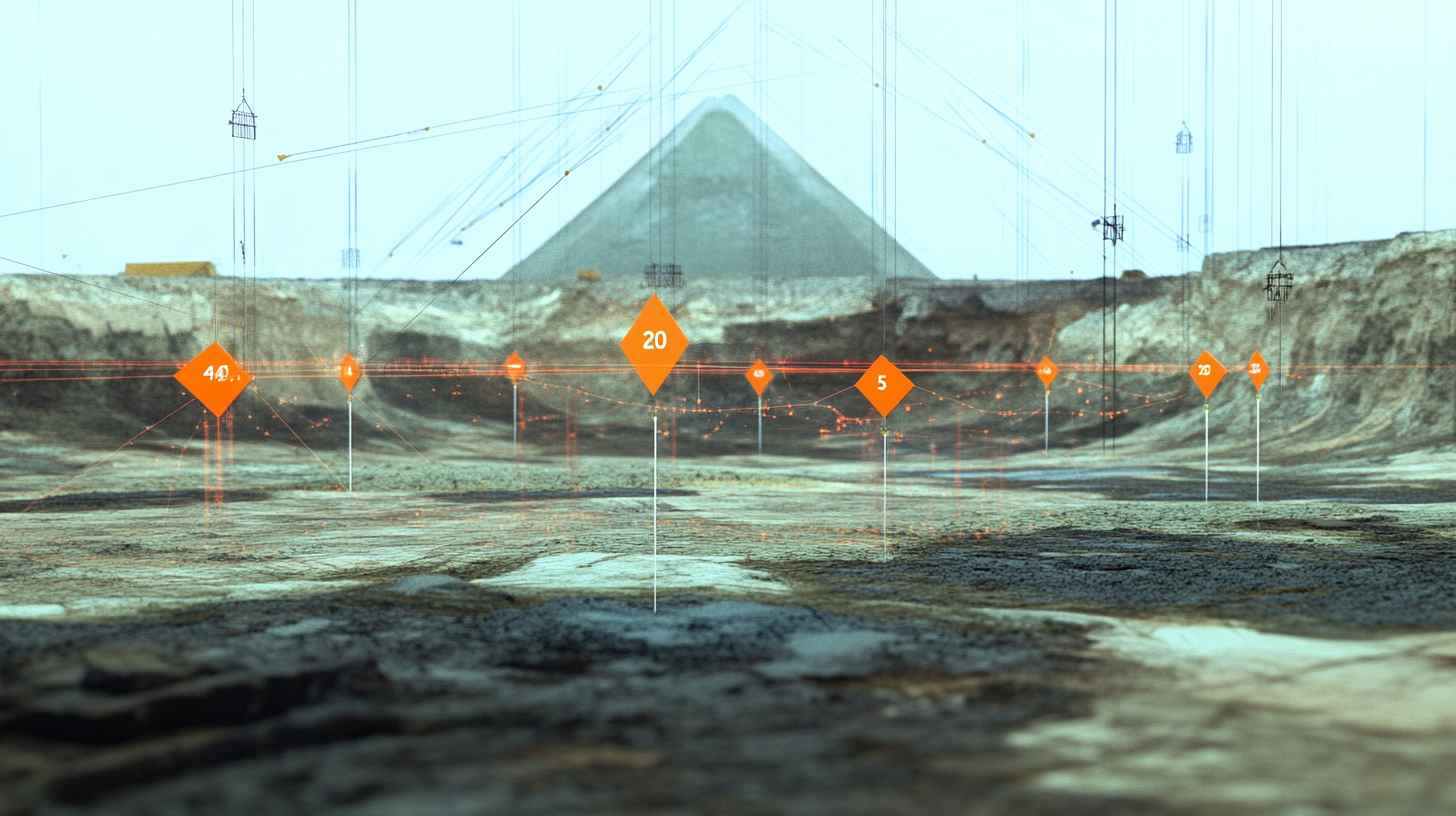
Fixed Point Network Visualization

FIXED POINT NETWORK (HFP+LFP 1-3)

Fixed Point Name
Identifier of the nearest geodetic control point in the Swiss national survey network. These fixed points serve as precise reference markers for property surveys and construction alignment.
Fixed Point Type
Classification of the control point within the Swiss survey hierarchy. Types include High Fixed Points (HFP) and Local Fixed Points (LFP) of categories 1, 2, and 3, each with different precision levels and purposes.
Distance to Parcel
Measured distance in meters from the nearest fixed point to the parcel boundary. This information helps surveyors plan property surveys and establish accurate boundary markings during construction.
Coordinates
Precise Swiss national grid coordinates (eastings and northings) of the fixed point. These standardized coordinates ensure consistency in all survey work, construction planning, and legal property descriptions.

Understanding Terrara's Parameter Categories

Terrara organizes property information into logical categories that follow the typical property development workflow. This structure helps professionals quickly access the specific information they need at each stage of property assessment, planning, and development.

Initial Assessment Parameters

Categories 1-3 provide the fundamental information needed for preliminary property evaluation, including ownership details, basic dimensions, and primary zoning information.

Regulatory Compliance Parameters

Categories 4-5 focus on the specific zoning overlays and special plans that regulate development, helping professionals identify applicable building codes and constraints.

Risk Assessment Parameters

Categories 6-7 provide critical geological, environmental, and natural hazard information that affects construction methods, costs, and insurance requirements.

Preservation & Environment Parameters

Categories 8-9 identify cultural heritage and environmental protection factors that may limit development options or require specialized permits and procedures.

These comprehensive parameters enable property professionals to make informed decisions with confidence, identifying both opportunities and constraints before investing significant resources in property acquisition or development planning.

Have questions or need personalized property intelligence? Our team of Swiss real estate experts is ready to assist you with tailored solutions for your specific needs.

Contact Our Experts